Showing posts with label Stonehenge. Show all posts

Tuesday, 11 September 2012

Found some stones in a field: A day of Stonehenge

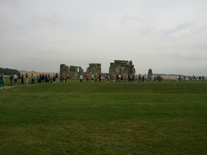
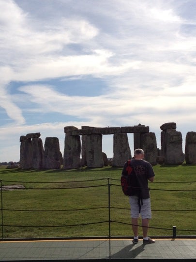
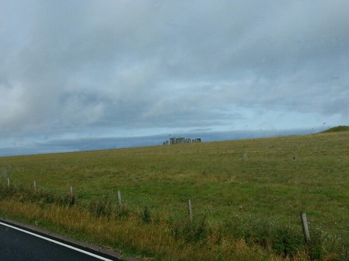
September 11th 2012, one day at Stonehenge, one day of visitors, one day of tweeted pictures.  Found some stones in a field, definitely made by aliens...

Friday, 16 September 2011

Stonehenge

Two exciting pieces of research affecting Stonehenge have been pointed out to me and are too good not to pass on.  The English Heritage funded 3D Stonehenge model has used high resolution terrestrial laser scanning to produced an unparalleled, accurate three-dimensional model of the stones.


Meanwhile, at Bournemouth University the team responsible for one of the recent campaigns of fieldwork at Stonehenge have completed the Google Under the Earth: Seeing-beneath-Stonehenge project. Funded by the Google Research Program. Birmingham Postgraduate Lawrence Shaw has worked on this project and blogs about it here.


Great work, and nice visualization in both cases.

Thursday, 8 September 2011

Exploring Visibility and Atmospheric Occlusion in CryEngine

The role of visual appreciation of landscape has taken a leading role in the archaeology of landscape, encouraged both by theoretical approaches and the utility of GIS softwares for automatic analysis of the visual characteristics of large landscapes.  Various writers have critiqued GIS studies of visibility and proposed enhancements to and refinements of visibility studies (eg. Llobera 1996 and 2000; Ogburn 2006).  In essence arguments for the refinement of visibilities studies focus on the need to appreciate the impact of range, view direction and target size on visibility. Additionally, a number of authors have pointed out the shortcomings of both theoretical and practical approaches to visibility studies, in particular the fact that many studies ignore or misrepresent the potential impact of vegetation and past vegetation patterns on landscape and visibility. 


I have been experimenting with using CryEngine to model different degrees of visual occlusion of landscape, based on atmospheric fog and rain.  Sandbox conveniently allows varying vegetation scenarios for the same landscape to be stored as layers that may be turned on and off to explore the visual impact of changes in vegetation.  Sandbox's environment controls allow alteration of the character, density and occlusion distance of atmospheric fog and addition the impact of rain on visibility may be simulated through particle effects.  The graphics here illustrate CryEngine simulations of the effect of increasingly dense atmospheric fog (with view distance decreasing from 200m to 500m) and the addition of rain on visibility of Stonehenge as viewed from The Cursus, a distance of just over 2km, and can be compared with a traditional GIS-derived two-dimensional viewshed diagram from the same location.


I think this approach has some potential for exploring changing visibility in landscapes where views and indivisibility are considered significant.  I'll be exploring different vegetation patterns in a similar light in the near future.


Llobera, M. 2001. Building past landscape perception with GIS: understanding topographic prominence. Journal of Archaeological Science 28, 1005-14.

Ogburn, D.E. 2006. Assessing the level of visibility of cultural objects in past landscapes. Journal of Archaeological Science 33, 405-13.


Monday, 13 December 2010

Microsoft ICE: Panoramas Revisited

Perhaps a slow starter, but while preparing some tutorial material for our current crop of Landscape Archaeology, GIS and Virtual Environments students I came across the rather wonderful, and free, Image Composition Editor from Microsoft Research.

Not only did ICE cope quickly and easily with my clumsy trial panorama data generated from the sadly defunct CityScape,  it offered the option of output to Photosynth. Just a click and a fully working photosynth panorama, generated from my screen grabs.


Most Impressed.

Friday, 10 September 2010

CryEngine Anaglyph 3D Movie

After considerable fiddling I appear to have produced an anaglyph 3D movie generated from CryENGINE.


The movie was produced by creating a camera path in Sandbox, running the camera in an out-dolly along the path at 1/8 of its full speed and using Camstudio to capture the results as an AVI (if only AVI output wasn't broken in Sandbox).  The master AVI was exported to an image sequence (5300 frames) using VirtualDub.  The frame sequences were then duplicated (one for left eye and one for right eye) and, through trial and error, a step mismatch was introduced to simulate the view from parallel camera tracks.  It worked out that a mismatch of 10 frames created a good stereo effect.  The mismatched image sequences were then combined to produce a single anaglyph AVI using Masuji Suto's excellent Stereo Movie Maker.

Does it work?  Most of my colleagues can see the 3D effect, so I guess it does.  Improvements required are a higher native resolution (I've upscaled this to 720p from the original 360) a more adventurous camera path and and some work refining the simulated parallel camera paths (requiring a higher frame-rate for the video capture to enable more subtlty in creating the mismatch).

Wednesday, 1 September 2010

CryEngine Anaglyph 3D

Anaglyph 3D in CryEngine 1 has proven surprisingly difficult to master.  The images below use the same technique as for CityScape (manual panning between captures and Takashi Sekitani's AnaMaker to generate the 3D images from two stills).  Getting the separation between images right is (obviously) crucial for producing a good stereo effect and simple trial and error is problematic.  Time to experiment with cameras in CryEngine.


Although imperfect, I do quite like these images, particularly the final one of Laxton castle looming in the virtual mist.  I wonder if access to a (simulated) third dimension increases the evocative power of the images to render landscape accessible?

Tuesday, 31 August 2010

Anaglyph 3D

I've always been quite keen on the slightly blurry, unreal quality of 3D images (perhaps it was that View-Master I had as a child).  It seems a shame that CityScape and CryEngine are not able to produce native 3D output (ok I know CryEngine 3 is able to in its latest iteration, but I don't have that).  After some lateral thinking and with a little experimentation it has proven relatively easy to produce convincing stereo image output, albeit manually in a rather tedious, hit-and-miss process.  For the examples below, left and right eye images were generated by manually introducing a slight tracking motion to the camera view between captured stills.  I've combined the two images using the excellent, and free, Anaglyph Maker by Takashi Sekitani (which I should add also support output for interleave shutter glasses).


These examples (which are red-cyan anaglyph and so need the funky eye-wear) are from CityScape, I'm working on similar output from CryEngine, which since it offers better camera control should make anaglyph 3D movies a possibility too.

Friday, 20 August 2010

Friday, 13 August 2010

Strange Visions

More strange visions, this time panoramas of Stonehenge assembled in CityScape (top) and CryENGINE (below).  These strange mournful visions of the stones are quite beguiling.

For comparison, here below, a real photographic panorama of the stones, courtesy of the BBC.


I'm quite taken with the idea of using game engines to create artistic renderings of landscape, extending into the impressionistic, even the surreal.  Why should we be chained to photorealism by the intense graphical renderings of modern games. More experimentation, less realism...

Monday, 2 August 2010

Playing with Perception: Time-lapse Movies

I've greatly admired the urban time-laspe movies regularly posted by Andrew Hudson-Smith on his DigitalUrban blog.  There is something about the contrasting sense of stillness in the fixed landscape features and movement (people, buildings, the sky) that reveals something more than a simple static photograph.  So what about an entirely virtual timelapse movie? A recent post on DigitalUrban 15 Days in Liberty City showed the way, so here by way of shameless imitation is my own virtual timelapse, Stonehenge: Just in Time.


Modelled in CityScape by PixelActive, with video capture using the free CamStudio.  It took a little fiddling with settings in both CityScape and CamStudio to make this work, but it seems to have done the trick.

Tuesday, 29 June 2010

Painting the Landscape

A request to provide images of Stonehenge with the Cursus barrow group in the background had me pondering the limitations of my Ordnance Survey based terrain model, which of course includes no such details.  In the absence of lidar terrain data for the study area (unless of course English Heritage would like to hand some over)  I've come up with an inexact compromise.


Using the Ordnance Survey mapping, which shows barrow locations, I've created a binary mask in ArcGIS in which the earthworks of barrows are shown in solid black.


Imported into CryEngine as a texture mask, and with a suitably garish texture, this serves as a visual guide for manually tweaking the terrain with Sandbox's terrain modification tools, in effect painting the barrows on to the landscape.  With sensible textures restored things begin to look reasonable.


The results are not so bad, with correctly located barrows that, with care, can be sculpted into approximately the right size and profile.  Better of course to begin with accurate survey data, but for now at least this meets the requested need.

Thursday, 24 June 2010

Stone Casualties

The recent Coalition Government cancellation of the new Stonehenge Visitors Centre and associated re-routing of the A344, along with a great post in Andrew Crook's GIS and Agent Based Modelling blog inspired me to download a trial of Pixel Active's City Scape, city modelling and simulation software and try it out for archaeological landscape modelling.


The promise of GIS data input and the ability to use 3D models in industry standard formats, coupled with sophisticated visualisation and agent-based traffic simulation bodes well and immediately lends itself to a quick visualisation of the sad state of Britain's most iconic ancient monument.  So here, in a short movie, the imprisoned stones, for now at least, to remain locked within late 20th century clutter.  


Landscape based on Ordnance Survey landform profile terrain data and MasterMap mapping using again Tom Harvey's excellent SketchUp model of the stones themselves.  I'm impressed with City Scape and will return to it again in the near future.

Wednesday, 9 June 2010

Choose Your Reality

We have become used to seeing the world rendered on a computer screen, almost unquestioningly we take in the mirror world of Google (maps, earth streetview) the hyper-reality of three dimensional buildings superimposed on global high resolution imagery.  There is little pause to question what we are seeing, the integrity of the images, or the extent to which reality is morphed into a digital vision of the real.  Computer games add yet another distorting lens between the real world and the world as we experience it on screen.  So, I invite you to choose your reality, wonder what the differences between visions mean and if they are even relevant when immersive visualistion is so easily achieved (for the price of a £10 computer game).  If your only experience of a place is the digital envisioning of that place, who is to say that is not the most real.

Choose your reality...

CryEngine


Google StreetView


Google Earth


with apologies for slow page loading...

.

Tuesday, 8 June 2010

More Stonehenge

A little movie sequence of the Stonehenge environs FarCry level, just because I like it really.


It could be significantly improved if some of the other earthworks in vicinity of the henge were added, the Avenue, Cursus and various barrows. I'm working on sourcing sufficiently detailed data for these to allow generation of appropriate height maps.

Friday, 4 June 2010

Stonehenge Demo FarCry Level

A few more hours work have completed a reasonable demonstration FarCry level for the landscape around Stonehenge.  Using Ordnance Survey terrain data and correctly placed vegetation, but dispensing with the modern roads and field boundaries, the final result is a sort of fantasy hype-real  Salisbury Plain.


The final product, including rather exaggerated henge earthworks,  looks pretty convincing and is set up to play as a free-for-all multiplayer map, allowing up to four players to explore the landscape simultaneously (no weapons though!).  I've added a few weather effects to make exploration interesting, wander too far from the stones and it starts to rain. 


In order to stop players falling off the map, in-game time is limited to two minutes, enough to explore the stones and their environs, but not enough to reach the edge of the 2 x 2km map, just right for a public display of the utility of games for archaeological visualisation, sufficient time to get a feel for things, but not so long that one person will hog the display.


All in all it provides a pretty convincing introduction to game-based visualisation.  Our geophysical survey team is hitting Salisbury Plain with a variety of high tech kit in the next few weeks, next up may be an attempt to visualise the hidden sub-surface in-game.


Improving on Stonehenge

In preparation for an interactive demonstration for a University open day I've been working on improving the Stonehenge model a little.  The new terrain heightmap is based on Ordnance Survey data, with textures based on landcover extracted from contemporary mapping. I've also added woodland where it is presently mapped and attempted to represent the earthworks of the henge itself within the terrain model by "painting" banks and ditches onto the greyscale heightmap.  Quite a bit of work to do yet, but here is a quick image of Stonehenge silhouetted by the setting sun viewed from the east, close to the present A344 outside just Amesbury.